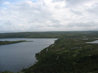
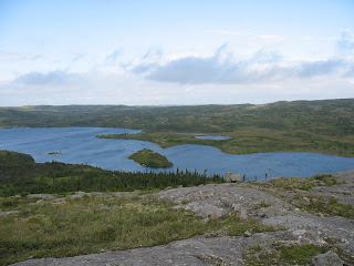
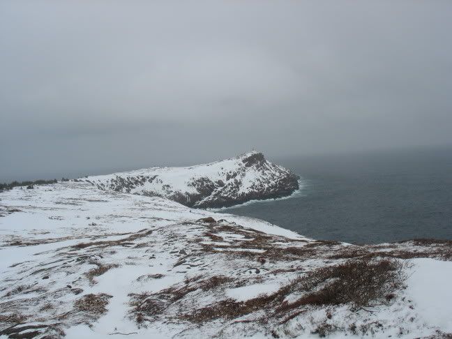
Once you're up here, it's pretty much a plateau with some small up-and-downs as you walk south. As you get closer towards the trails coming in from Shea Heights, there are signs of people on mountain bikes using the trail, which I thought was frowned upon by the East Coast Trail people but oh well, I suppose they can't police the paths. Anyway, by this time, the frost had melted off and while it was hardly warm, it was an extremely pleasant day. There is a spot along this part of the trail where Freshwater Bay (and it's barachois) are visible. See photo....
 I eventually approached the treeline where you descend into the bay and I have to confess to a little navigational mistake here. Well, to be honest, I always overestimate how clear the path is on the East Coast Trail because I assumed it would be easy to follow. Not so. I veered off over a rocky mound and into thick trees. By the time the feeling of "this isn't the path" sunk in 100%, I had already descended a fair bit. Since I knew where I was, I made the decision to add to the adventure of this wee hike and continued to plough through the trees, heading ever downward to where I knew the path would be. It was quite taxing and following a slip on a log with the subsequent fall onto my back, I took it fairly easy.
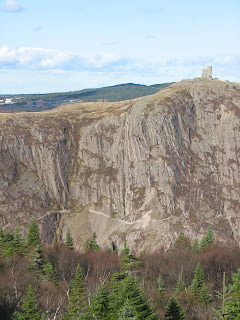
 So, after perhaps double the time it should have taken and covered in various forms of dirt and moss, I emerged onto the path that goes to Coadys Mine, which is a little beyond the regular ECT path (I knew this and hoped to arrive at it). I brushed off the worst of the dirt and headed for the barchois. This photo shows the kind of terrain I was coming down. It's taken from the barachois, looking north. I was fighting my way down through those trees on the left.
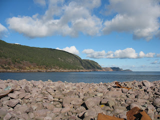 Anyway, the barachois is a natural formation of rocks across the bay and is littered with wreackge from a boat that sunk in the area. I'm not sure on the details of this but it gives the place a bit of an eerie feeling. Here's some of the wreckage strewn along the rocks.
 As I said, my intention was to continue over the bay to Small Point but the problem with this is that that barachois does not go right across and has an opening for a stream to flow into the sea. At this time, it was after a lot of heavy rain and the water flowing over the gap was a little fast. However, I'd walked all this way and didn't want to be turned back this easy. Therefore, I donned my gaiters, took a firm hold of my hiking poles (which I'd taken specifically for this reason) and started wading. It was surprising how quickly my feet got wet. Anyway, I didn't get more than a third of the way across before my nerves got the better of me and I chickened out. Maybe a younger version of myself would have gone further but the thought of being washed into the sea did not appeal to me at the time.
So, I retreated and met a follow hiker just coming onto the barachois. He probably thought I was an idiot for trying to cross it and this was most likely confirmed when I said I was going to head further upstream to attempt a crossing there. I said farewell to him and experienced another failure. Well, I didn't even try to cross again as the water was simply too high to get across.
Given this turn of events, I went back the way I came. Of course, this didn't include the trek up through the trees as I actually used the path this time. With damp feet and a slight feeling of defeat I hightailed it back to the car, meeting people going the other direction along the way. What happened to getting up early for a hike? It must have been all those Moray Mountaineering trips when we had to get the bus at 4:00 in the morning.
Just to finish off this entry, here's a picture of Signal Hill, showing the trail that runs along the side of the hill in the narrows.